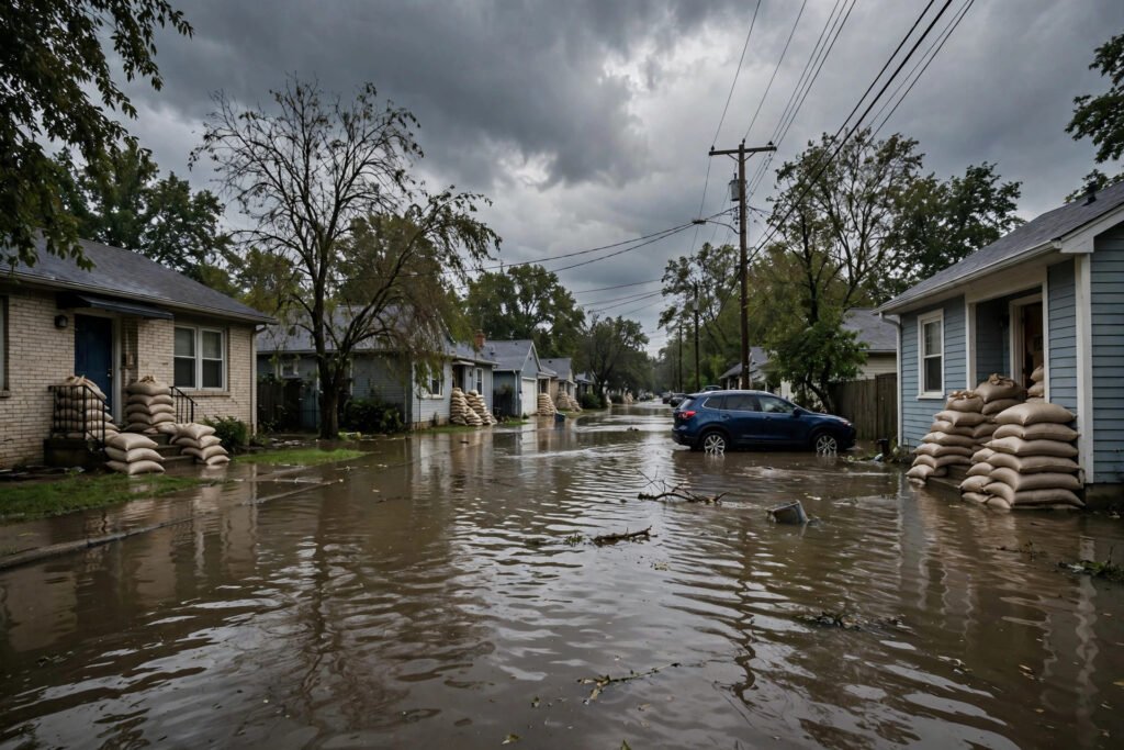

Rain is so familiar that it becomes invisible — water falls from the sky, and nobody asks why. But the mechanism is a remarkable chain of physics: invisible vapour rising kilometres into the atmosphere, microscopic particles seeding droplets, droplets growing a millionfold, and finally falling. Understanding how rain forms transforms every rainy day from an inconvenience into a visible demonstration of atmospheric science. This guide explains the full journey from evaporation to rainfall, the different types of rain, why Britain gets so much of it, and how forecasters predict it.
You will learn the water cycle’s atmospheric stages, how cloud droplets become raindrops, the Bergeron process and collision-coalescence, the types of rain and their causes, why the UK is so rainy, and how rain is forecast.
Stage 1: evaporation and rising air
It starts with energy: the Sun evaporates water from oceans, lakes, rivers, soil, and plants (transpiration), loading the lower atmosphere with invisible water vapour. Warm air can hold far more vapour than cold air — roughly doubling per 10°C — which is why tropical air masses carry the most moisture. But vapour alone does not make rain; the moist air must rise. Rising happens three ways: convection (sun-heated ground warms the air above it, which rises like a hot-air balloon — the cause of summer afternoon showers), frontal lifting (warm and cold air masses collide; the warm air is forced up over the cold — the cause of Britain’s classic prolonged rain), and orographic lifting (air forced up over hills and mountains — why the western Highlands are among Europe’s wettest places). Rising air expands and cools (about 6.5°C per kilometre), and cooling is the trigger for everything that follows. The Met Office’s guide to how rain forms illustrates these mechanisms with UK examples.
Stage 2: condensation — cloud droplets are born
Cooling air eventually reaches its dew point — the temperature where it can no longer hold all its vapour. But vapour does not condense spontaneously; it needs surfaces. Enter cloud condensation nuclei: microscopic particles — sea salt, dust, pollen, pollution, even bacteria — numbering hundreds per cubic centimetre of air. Water vapour condenses onto these nuclei, forming cloud droplets roughly 10 micrometres across (a hundredth of a millimetre). A typical cloud contains hundreds of millions of such droplets per cubic metre — yet they are so small and light that they float, and so small that they would take hours to fall as rain. A cloud is not rain waiting to happen; it is a vast suspension of droplets far too tiny to fall. Something must grow them roughly a millionfold in volume before gravity takes over.
Stage 3: growth — from droplet to raindrop
Two mechanisms grow droplets to raindrop size (~1–2 millimetres, a million times the droplet volume): Collision-coalescence (warm clouds): larger droplets fall slightly faster, sweeping up smaller ones in their path, growing as they descend — the dominant process in tropical and summer shower clouds. Turbulence inside the cloud accelerates the collisions. The Bergeron process (cold clouds — the main rainmaker in Britain): above the freezing level, clouds contain a mixture of supercooled water droplets (liquid below 0°C) and ice crystals. Ice has a lower vapour pressure than liquid water, so vapour migrates from droplets to crystals — the crystals grow at the droplets’ expense, become heavy snowflakes, fall, and melt into rain below the freezing level. Most British rain began as snow high in the cloud — a delightful fact to deploy at dinner parties. Both processes need time and cloud depth, which is why thin, shallow clouds drizzle while deep, towering clouds pour. Understanding water’s journey also matters at ground level — knowing whether tap water is safe completes the picture from cloud to glass.
The types of rain (and why they feel different)
Frontal rain: prolonged, steady, widespread — the classic British rain, from warm air riding up over cold along weather fronts. Can last hours to days; the “it’s been raining since Tuesday” rain. Convective showers: intense, localised, short-lived — the summer downpour that drenches one street while the next stays dry, from surface heating. Often accompanied by thunder (cumulonimbus). Orographic rain: persistent rain on windward hillsides — moist Atlantic air forced up over Welsh mountains or the Highlands, dumping its moisture; the reason the west is wetter than the east. Drizzle: fine droplets from thin stratus cloud — the “mizzle” that soaks you slowly; technically rain, just with tiny drops. Each type has a different cloud, a different mechanism, and a different forecast signature — which is why “rain” on a forecast tells you less than the synoptic chart behind it.
Why Britain gets so much of it
Britain’s raininess is geography, not bad luck. The island sits directly in the path of the Atlantic storm track — the conveyor belt of low-pressure systems steaming in from the west, each trailing warm and cold fronts that deliver frontal rain. The surrounding ocean supplies endless moisture; the prevailing westerlies deliver it; the hills wring it out (orographic enhancement means the western Highlands get 3,000mm+ annually while parts of East Anglia get under 600mm — Britain contains both near-desert and near-rainforest rainfall regimes). Climate change is intensifying the pattern: warmer air holds more moisture (~7% more per degree), so when it rains, it rains harder — the Met Office documents increasing intensity of heavy rainfall events even as total patterns shift. The British relationship with rain is really a relationship with Atlantic geography. Coping with it practically is a national skill — keeping things clean in rainy weather is the domestic front of the same battle.
How rain is forecast (and why it is hard)
Modern forecasting runs numerical weather prediction: supercomputers solving the physics equations of the atmosphere on a 3D grid, updated with millions of observations (satellites, radar, weather stations, aircraft, buoys). The Met Office’s models are among the world’s best. Rain is among the hardest things to forecast precisely because it depends on fine-scale processes — exactly where a shower cell forms, whether a front’s rain band hits Manchester or Leeds — at scales near the models’ resolution limits. Hence ensemble forecasting: running the model dozens of times with slightly different starting conditions; where the runs agree, confidence is high; where they diverge, the forecast shows probabilities. That percentage on your weather app is not vagueness — it is honest quantification of uncertainty. Radar (showing where rain is now) beats models for the next 1–2 hours; models win beyond that. The practical skill: check the rain radar before heading out, not just the daily summary — BBC Weather’s radar maps are a solid free option alongside the Met Office app.
Conclusion
Rain forms through an elegant chain: solar energy evaporates water, rising air (by convection, fronts, or hills) cools it to the dew point, vapour condenses on microscopic nuclei into cloud droplets, and droplets grow a millionfold — by collision-coalescence in warm clouds, by the Bergeron ice-crystal process in cold ones (which is most British rain, beginning as high-altitude snow) — until gravity wins. Britain’s raininess is Atlantic geography: the storm track, the moisture-laden westerlies, and the hills that wring them out. Forecasters predict it with supercomputer physics and ensemble probabilities. Next time it rains — and in Britain, there will be a next time — you will know the journey each drop took: from ocean to vapour to cloud to ice to rain, kilometres of physics ending on your umbrella.
Frequently Asked Questions
How does rain form in simple terms?
Sun evaporates water into invisible vapour; rising air cools the vapour until it condenses on tiny particles into cloud droplets; droplets merge and grow (a millionfold) until heavy enough to fall as rain. Most UK rain started as snow high in the cloud, melting as it fell.
Why does the UK get so much rain?
Geography: Britain sits in the Atlantic storm track, with moisture-laden westerlies delivering frontal rain year-round and hills wringing out extra moisture on western slopes. The west gets over 3,000mm annually; parts of the east get under 600mm.
What is the difference between rain, drizzle, and showers?
Rain is steady precipitation from frontal systems; showers are intense, short, localised bursts from convective clouds; drizzle is fine droplets from thin stratus cloud. They come from different cloud types and mechanisms.
How do weather forecasters predict rain?
Supercomputer models solve atmospheric physics equations fed by millions of observations, run as ensembles to quantify uncertainty. Weather radar shows current rain for 1–2 hour nowcasting; models handle longer ranges. The percentage on apps reflects genuine probabilistic forecasting.